The Growing Challenge
Cars become congested, require parking and are expensive to own. Mobility services such as taxis and Uber are costly for everyday travel and still face traffic delays. Buses are often slow, crowded at peak times, limited at night and make frequent stops. Underground networks are expensive to build, leaving many people far from their destination. Bicycles and electric scooters are ideal for shorter journeys but are often limited by distance, weather and infrastructure.
A new approach
to connecting people
and places.
The 21st Century Solution
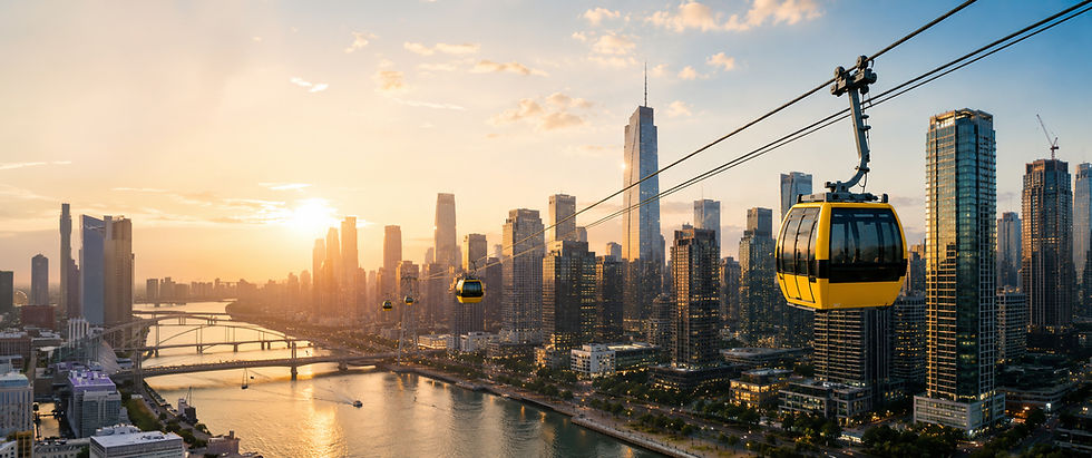
A network of suspended self-driving electric vehicles taking each customer from their location to their chosen destination, at a good speed, and without stopping at intermediate stations, traffic lights, or any other place.
Not subject to congestion
Whole network operates under computer control
With low fixed and variable costs, the system actually makes money rather than require substantial subsidies
Great at crossing rivers, railways lines, or other obstacles at no extra cost
Able to climb steep gradients and have stations inside buildings above ground
Great relaxing views along the way
Explore The Technology
Conventional Cable
MOBILE CABLE
Works in a closed circuit
It is slow
High initial and operating costs
Not economically viable in low demand conditions
Air Monkey
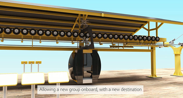
FIXED CABLE - MOBILE VEHICLES
On demand - no waiting
Point to point - Changes lines until final destination
2 - 3 x faster
Cheaper infrastructure and cheaper variable costs


Direct
Journeys
Point-to-point travel without unnecessary stops.

Lower Infrastructure
Designed to reduce construction and operating costs.

Scalable
Network
From a single route to connected transport networks.

Ready For Deployment
On-demand travel, and no need for parking.